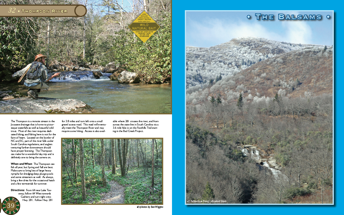
Labels:daily | dirt | earth | fence | grass | handbag | mountain | person | plant | poster | river | road | rock | school newspaper | sky | tree | water OCR: THoMPSoN RIVER The BalsaMs WILD NATURAL BAI The Thompson i br 3.8 mies ya wra pue small 281 and fror locasse that is he ome to pictur gravel access rosd This rad will e ventu SSOJDT state ine in South Carolina viaa waterfalls besutifulwic ally meet the Thompson River and KTU 3.6 mile hike in on the Foothills s Trail start- trou Most ive equire require hiking Access abo avail ing in the Bad Creek Project hiking faint of hesrt Located on th NC andSC part of the river -falb unde regulations anglers ownstream houd kereing The Thompson When andWhat year, but Spring arx Make ure to bring lots of heaw ways sional hatcl Directions: Fron waY follow West toward hiers lwy 281. Folow Hwy 281 ellowstone Prong i photos by BenWiggins